South Australia is a state the size of France and Germany combined with a population smaller than Melbourne’s, which produces a very specific kind of driving: long, empty, and rewarding out of all proportion to the effort. Two hours from the Adelaide GPO you can be in a 170-year-old wine village, on an empty Southern Ocean beach, in a limestone cave full of Pleistocene fossils, or on a road so straight it disappears into heat shimmer. That range is what makes South Australia road trips the best way to see the state, and it is why almost every worthwhile thing here is measured in driving hours rather than kilometres.
This guide sets out the routes that actually work: eleven of them, from a one-day loop through the Adelaide Hills to a week on the Stuart Highway. For each you get the distance, the realistic number of days, what the driving is genuinely like, where to stop and whether you need a particular vehicle. It also covers the parts nobody mentions in a brochure — fuel gaps, wildlife at dusk, phone coverage, road trains and the roads where a hire-car contract quietly voids your insurance. Prices and distances were checked in September 2026; treat the dollar figures as the right order of magnitude.
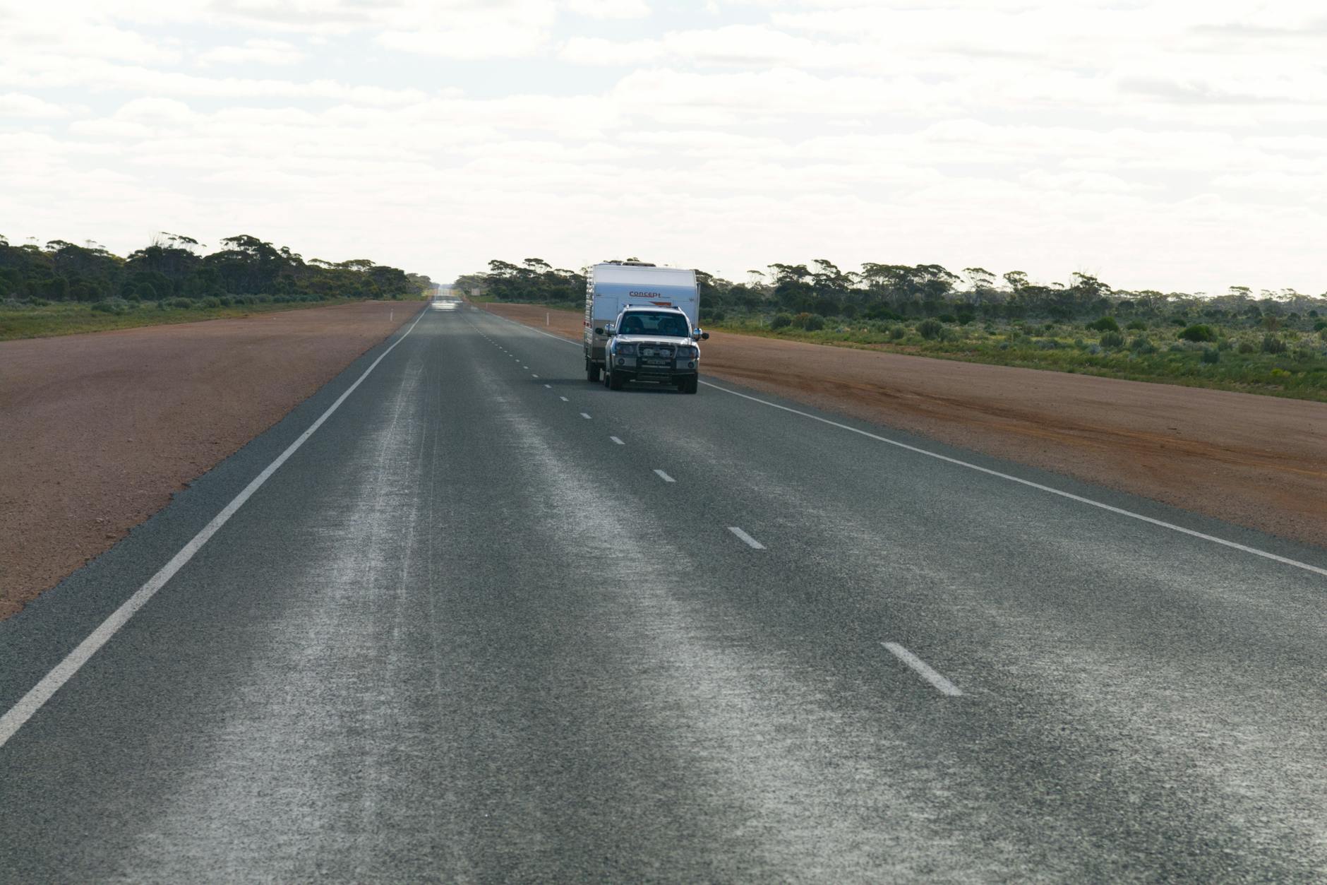
The routes at a glance
| Route | Distance | Days | Vehicle | Best for |
|---|---|---|---|---|
| Adelaide Hills loop | 90-140km | 1 | Any | Villages, cellar doors, cool air |
| Fleurieu Peninsula loop | 250km | 1-2 | Any | Beaches, whales, McLaren Vale |
| Barossa and Clare | 300km | 2-3 | Any | Shiraz, riesling, old vines |
| Yorke Peninsula circuit | 600km | 3 | Any | Quiet coast, shipwrecks, surf |
| Murray River and Riverland | 500km | 3-4 | Any | Cliffs, houseboats, citrus towns |
| Limestone Coast | 900km return | 4-5 | Any | Caves, cabernet, volcanic lakes |
| Great Ocean Road to Melbourne | 1,100km | 4-6 | Any | Coastline, one-way to Victoria |
| Flinders Ranges | 900km return | 4-5 | 2WD sealed / 4WD tracks | Gorges, Wilpena Pound, geology |
| Eyre Peninsula | 1,400km return | 6-8 | Any | Seafood, sharks, sea lions |
| Explorers Way to Coober Pedy | 1,700km return | 5-7 | Any sealed | Opal, dugouts, desert |
| Nullarbor to Western Australia | 2,700km | 4-5 minimum | Any sealed | Crossing the continent |
What driving in South Australia is actually like
Before the routes, the conditions. Getting these wrong is the difference between a great trip and an expensive one.
Distances are bigger than they look
On a map of Australia, Adelaide to Coober Pedy looks like a short hop. It is 846km — the same as London to Edinburgh and back most of the way. Adelaide to Port Lincoln looks like it should be a ferry ride across the gulf; by road it is seven hours around the top of Spencer Gulf. Always check the driving time rather than the visual distance, and add a third to whatever a mapping app tells you once you leave the metropolitan area, because you will stop more than you think.
Fuel gaps are real
In the settled south-east you are never far from a servo. North of Port Augusta and west of Ceduna, the gaps stretch to 150-250km, and some roadhouses close overnight or run limited hours. The rule is simple and non-negotiable: fill up when you pass half a tank, not when the light comes on. Carry water — at least four litres per person for any outback leg — and do not rely on being able to buy it.
Wildlife at dawn and dusk
This is the single biggest risk on South Australian roads and it is not exaggerated. Kangaroos, emus and wombats move at first and last light, they move unpredictably, and a big red kangaroo weighs as much as a person. The advice locals actually follow is to drive between about 9am and 4pm on country roads and simply not drive at dusk. Most hire-car contracts do not cover animal strike damage in a way you will enjoy discovering.
Unsealed roads and your insurance
Many of the best things in South Australia sit at the end of a dirt road: the Flinders gorges, Innes National Park’s back tracks, the Oodnadatta Track, half of Kangaroo Island’s south coast. Standard hire-car agreements frequently exclude unsealed roads entirely, which means a puncture or a rolled vehicle is fully on you. Read the contract before you book, and if your route needs dirt, hire from a company that permits it and pay for the cover. Our Adelaide car rental guide covers which operators allow what.
Road trains, phone coverage and the rest
North of Port Augusta you will meet road trains up to 53 metres long. Give them room, do not overtake without a long clear view, and expect a wall of air and gravel as they pass. Telstra has by far the best regional coverage; Optus and Vodafone drop out early. Download offline maps before you leave the city, and tell someone your route if you are going remote. Full road-condition and rules detail is in our driving in South Australia guide.
One day: the Adelaide Hills loop
The shortest route on the list and the one most visitors should do first. Twenty minutes up the South Eastern Freeway puts you 400 metres above the city in country that looks like Bavaria crossed with a eucalypt forest.
The classic circuit runs Stirling, Hahndorf, Woodside, Lobethal and back down through Birdwood or Mount Barker. Stirling is the gateway village — gardens, an organic market, good coffee, about twenty minutes from the CBD. Hahndorf is Australia’s oldest surviving German settlement and is unashamedly touristy; go early or late and it is charming, go at noon on a Saturday and it is a car park. Woodside has antiques and a cheese factory, Lobethal has the Christmas lights in December, and the whole loop can be done in a leisurely day with two cellar doors and a long lunch.
The Hills sit five to eight degrees cooler than the plains, which makes this the right choice on a 38°C summer day and a cold one in July. See the Adelaide Hills day trip guide and the Hahndorf guide for the detail.
One to two days: the Fleurieu Peninsula
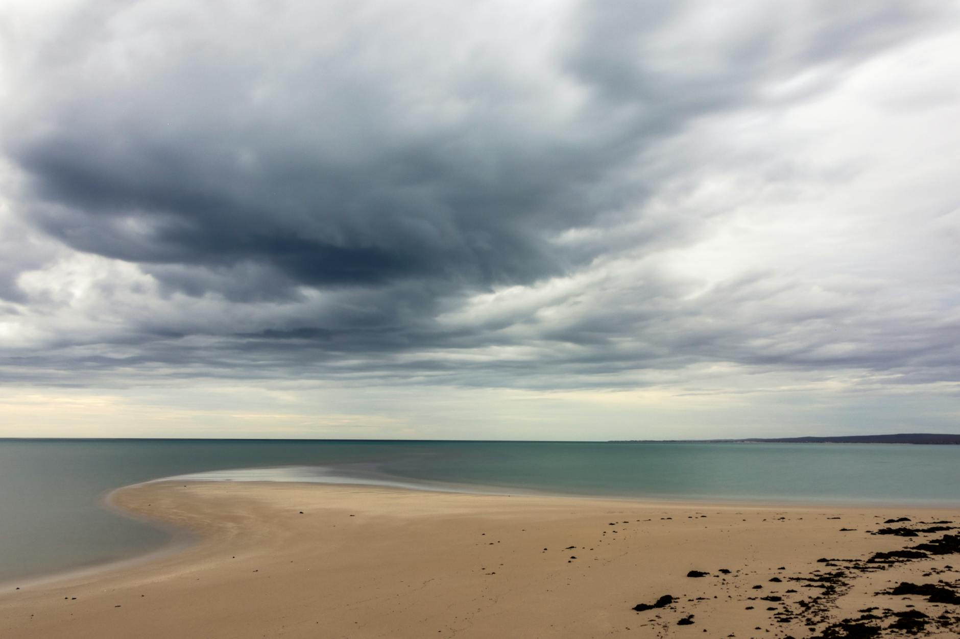
South of the city the Fleurieu delivers more variety per kilometre than anywhere else in the state. A comfortable loop: down through McLaren Vale for the wine, out to Willunga for the Saturday farmers market, across to Victor Harbor and Granite Island, along the Encounter coast to Port Elliot and Middleton, then Goolwa at the Murray Mouth and back up through Strathalbyn and Langhorne Creek.
Between May and October, southern right whales come into Encounter Bay to calve, and you can often see them from the Victor Harbor foreshore without a boat. Granite Island’s horse-drawn tram is a genuine curiosity rather than a gimmick. Middleton and Waitpinga carry the real surf. Goolwa is where the Murray finally reaches the sea after 2,500km, and the Coorong stretches south-east from there in a thin sandy line for a hundred kilometres.
You can compress this into one long day. Two is much better, with a night in Victor Harbor or Port Elliot. Our guides to McLaren Vale, Victor Harbor and Goolwa and the Murray Mouth cover the stops individually.
Two to three days: Barossa and Clare

An hour north of Adelaide the Barossa holds some of the oldest continuously producing vineyards on earth — pre-phylloxera shiraz planted in the 1840s by Silesian settlers, still fruiting. Two hours further north, the Clare Valley makes the best riesling in Australia and does it in a much quieter setting.
The natural route is Adelaide to Tanunda and Angaston in the Barossa for a night, up through Kapunda and Auburn into the Clare Valley for a second, then back down the Horrocks Highway. In the Barossa, Seppeltsfield’s Centennial Cellar lets you taste tawny drawn straight from a barrel of your own birth year, which is the single most memorable thing you can do in an Australian cellar door. In Clare, hire a bike and ride part of the Riesling Trail between cellar doors — 35km of flat, sealed, former railway line, and it solves the drink-driving problem elegantly.
Our Barossa and Clare Valley guides go region by region, and Adelaide’s wine regions compares all of them if you only have time for one.
Three days: the Yorke Peninsula circuit
The Yorke is the boot-shaped peninsula between Spencer Gulf and Gulf St Vincent, and it is the least-visited accessible region in the state. That is its whole appeal. The circuit runs down the eastern side through Ardrossan and Edithburgh, around the toe to Innes National Park, and back up the western coast through Point Turton and Moonta.
Innes National Park at the foot is the destination: cliffs, empty beaches, Ethel Beach with the rusting ribs of a wreck still visible in the sand, and some of the best surf in South Australia at Chinamans. The peninsula has six lighthouses and more than 26 recorded shipwrecks. The northern “Copper Coast” towns of Moonta, Kadina and Wallaroo were Cornish copper-mining settlements and still feel it, right down to the pasties.
Three days is right. Two is rushed; a week would not bore you if you fish or surf.
Three to four days: the Murray River and Riverland
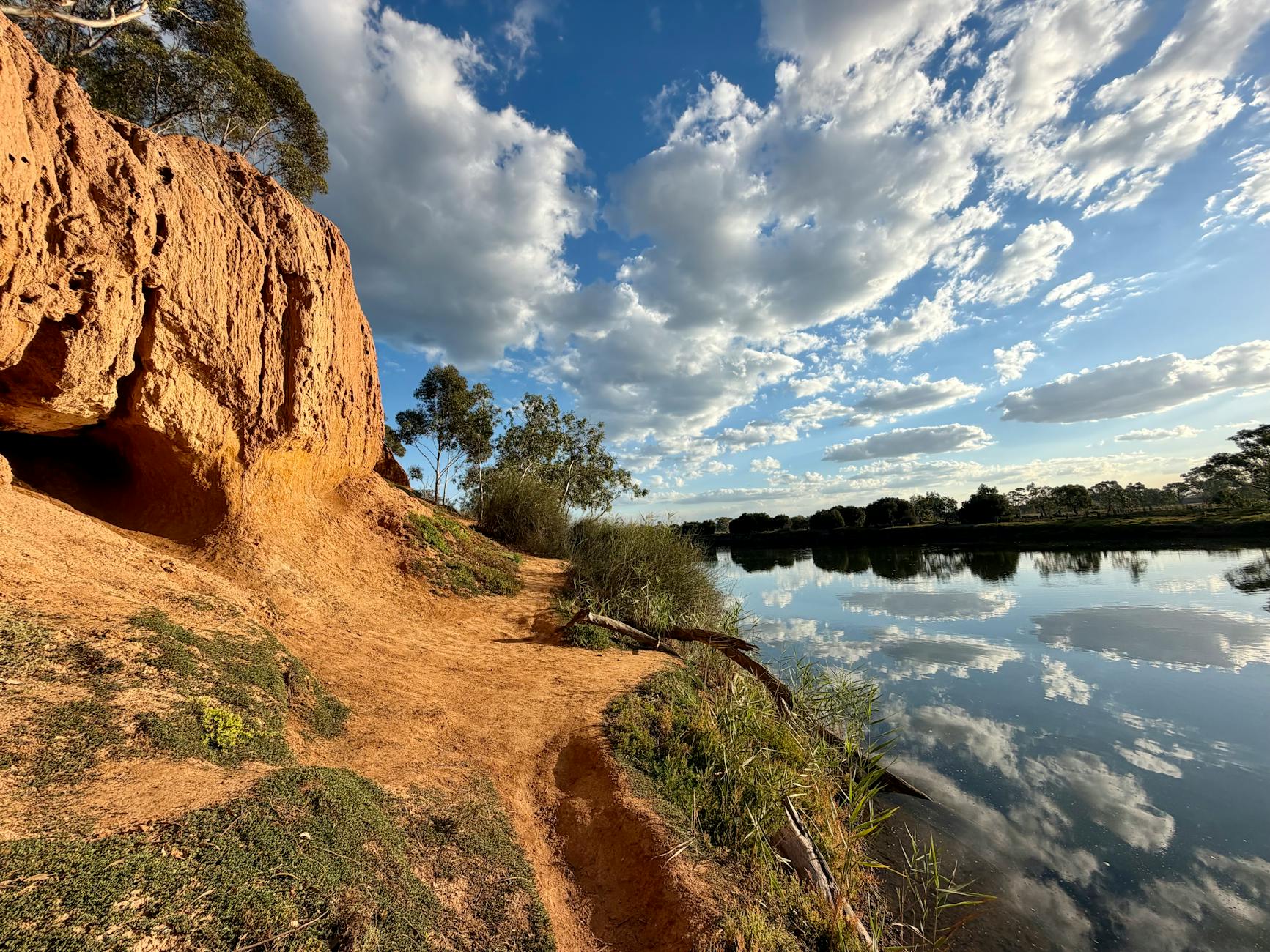
East of Adelaide the Murray cuts through limestone cliffs, and the towns along it — Mannum, Swan Reach, Waikerie, Berri, Renmark — have a slow, hot, citrus-and-irrigation character quite unlike the rest of the state.
The distinctive way to do this one is not to drive it at all. Houseboats hire from Mannum, about 90 minutes from Adelaide, and from Murray Bridge; a standard car licence is all you need, cruising speed is 5-7km/h, and you tie up wherever you like. A typical seven-night loop runs Mannum to Bowhill, Big Bend, Swan Reach and Walker Flat before returning. Operators include Unforgettable Houseboats and White Houseboats.
If you would rather drive it, the route strings together Murray Bridge, Mannum, the Big Bend cliffs, Blanchetown, Waikerie and Renmark, with 23rd Street Distillery at Renmark occupying a restored century-old distillery building. Monarto Safari Park sits just off the highway on the way out of town and is one of the largest open-range zoos in the world. See our Murray Bridge and Riverland guide and the Monarto Safari Park guide.
Four to five days: the Limestone Coast
The state’s south-east corner is the most underrated drive in South Australia. The route runs down the Dukes Highway or the coastal Princes Highway through the Coorong, then into a landscape built entirely on limestone: sinkholes, caves, crater lakes and cabernet.
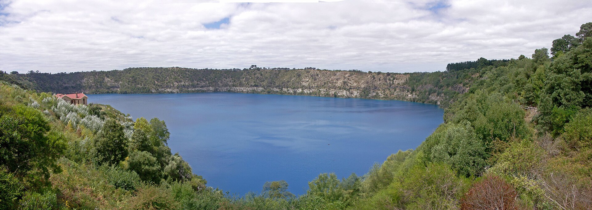
Naracoorte Caves is a World Heritage site — one of the Australian Fossil Mammal Sites — holding fossils up to around 500,000 years old, including megafauna that fell into the caves and never got out. Allow half a day for Stick-Tomato Cave, Alexandra Cave and Victoria Fossil Cave. Coonawarra sits roughly halfway between Naracoorte and Mount Gambier on a narrow strip of terra rossa soil over limestone, and it makes cabernet sauvignon that beats most of Australia. Mount Gambier has the Blue Lake, which turns from steel grey to vivid cobalt every November and back again in March, plus the Umpherston Sinkhole — a collapsed cave floor turned into a terraced sunken garden — and Engelbrecht Cave running under the town.
You can do inland one way and coastal the other, which makes a genuine loop rather than an out-and-back: Princes Highway down through Meningie, Kingston SE and Robe, then Riddoch Highway home via Penola and Naracoorte. Robe is the pick for an overnight — a small fishing and holiday town with good food and a long beach. Our Langhorne Creek and Coonawarra guide covers the wine end of it.
Four to six days: the Great Ocean Road to Melbourne
If you are going to Victoria anyway, do not take the Dukes Highway. The direct route is 730km of straight, dull, eight-hour driving. The coastal alternative runs the Limestone Coast to Mount Gambier, crosses into Victoria at Nelson, then picks up Port Fairy, Warrnambool, the Twelve Apostles, Lorne and Torquay before Melbourne.
It is roughly 1,100km and needs four days minimum, five or six to be enjoyable. Southern right whales calve at Logans Beach near Warrnambool between June and September. This is a one-way trip, so budget for the drop-off fee on a hire car — it is usually a few hundred dollars and it is still worth it.
Four to five days: the Flinders Ranges
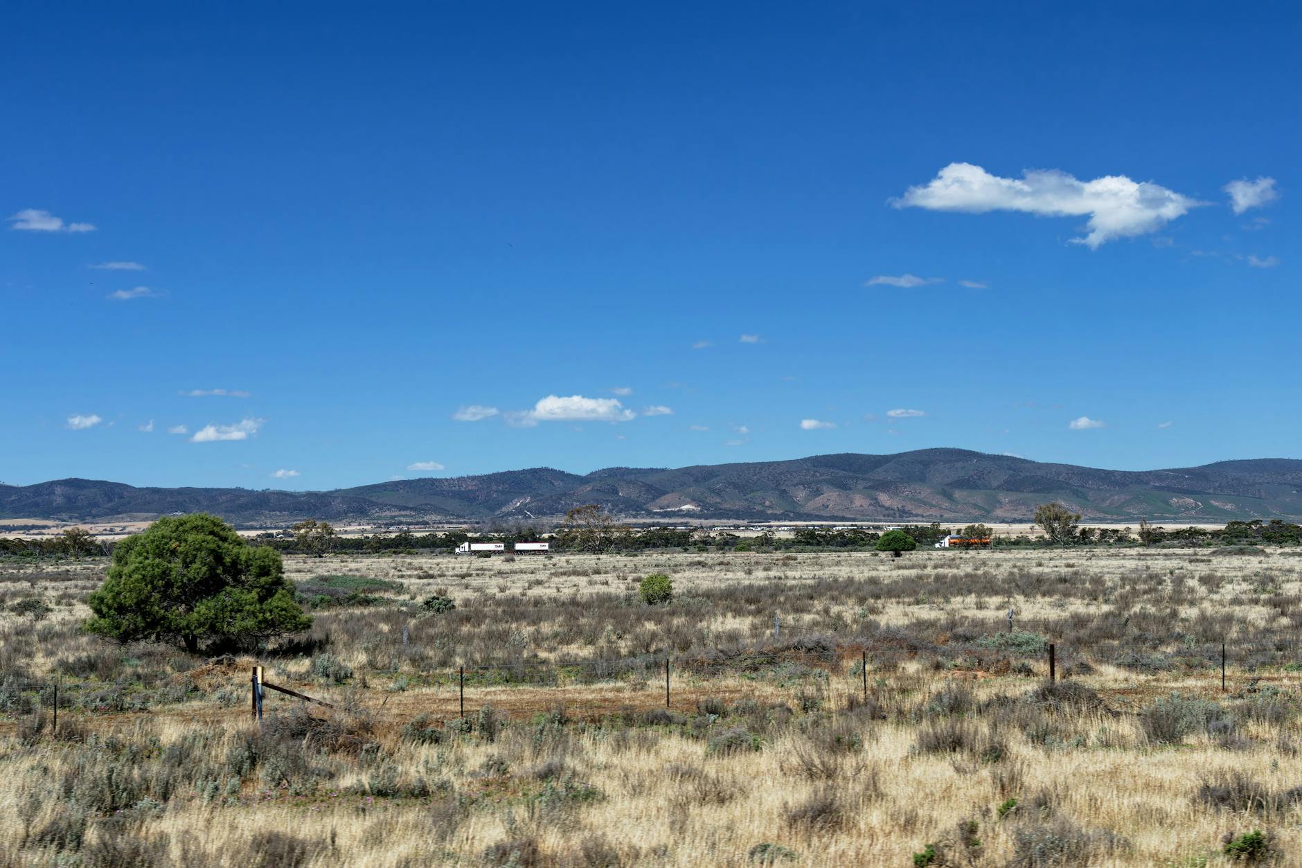
Five hours north of Adelaide the country changes completely. The Flinders Ranges are 800 million years old, weathered down to red ridges and river red gums in dry creek beds, and they hold the best walking, the best photography and the darkest night skies in the state.
The standard route runs Adelaide to Clare or Melrose for the first night, then up through Quorn, Hawker and into Ikara-Flinders Ranges National Park for two or three nights around Wilpena Pound. Wilpena — Ikara in Adnyamathanha — is a natural amphitheatre roughly 17km by 8km, ringed by mountains and entered through a single gorge. Brachina Gorge is a geological corridor that runs through 130 million years of sediment in twenty kilometres. Sacred Canyon and Arkaroo Rock hold Adnyamathanha rock art. Add Alligator Gorge at Mount Remarkable on the way back if you have the time.
The main roads are sealed and fine in a normal car; the gorge tracks are unsealed and some need clearance. Winter and spring are the seasons — summer temperatures routinely exceed 40°C and walking becomes genuinely dangerous. Our Flinders Ranges road trip guide has the stage-by-stage version and Flinders Ranges from Adelaide covers the shorter options.
Five to seven days: the Explorers Way to Coober Pedy
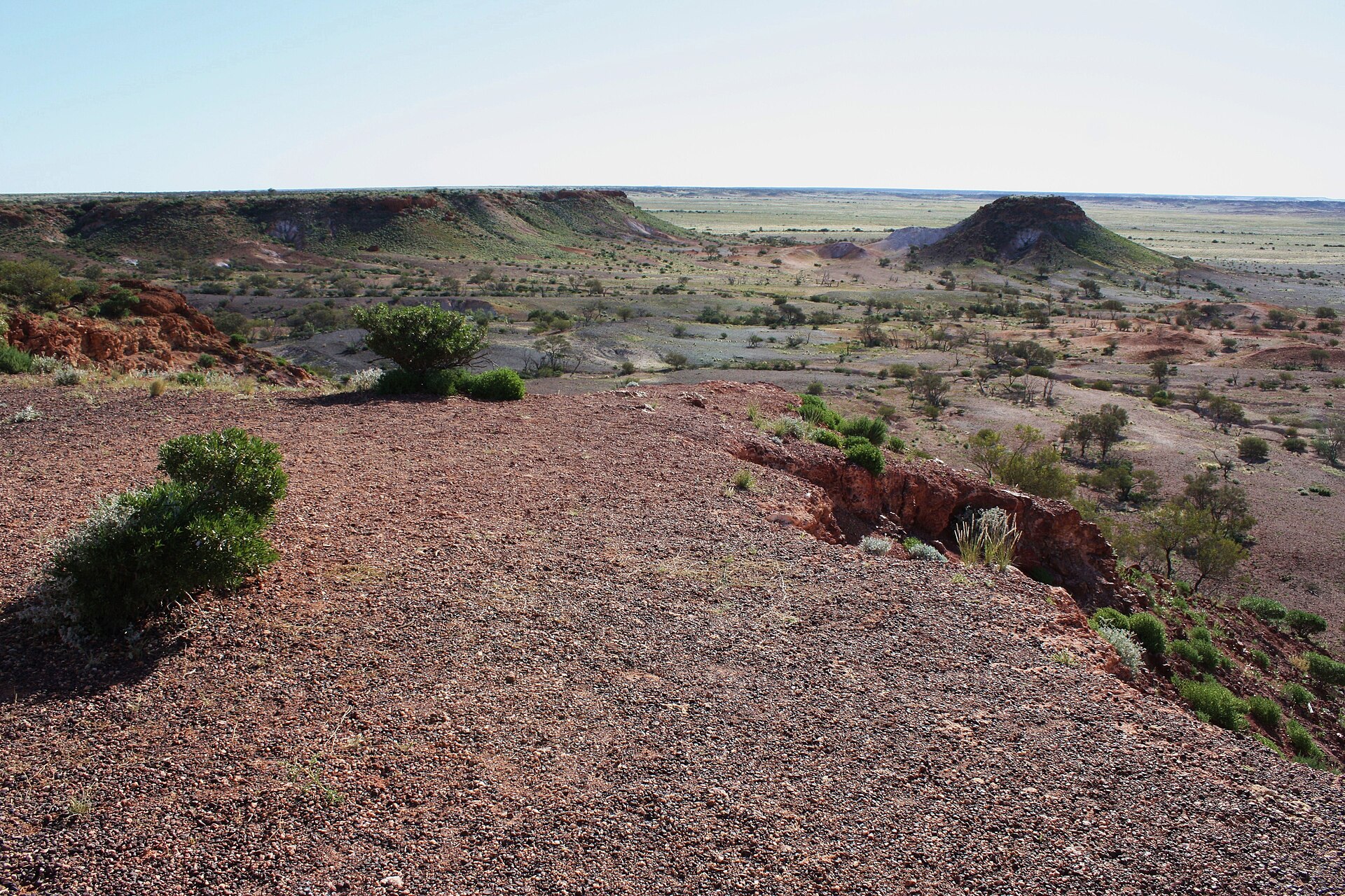
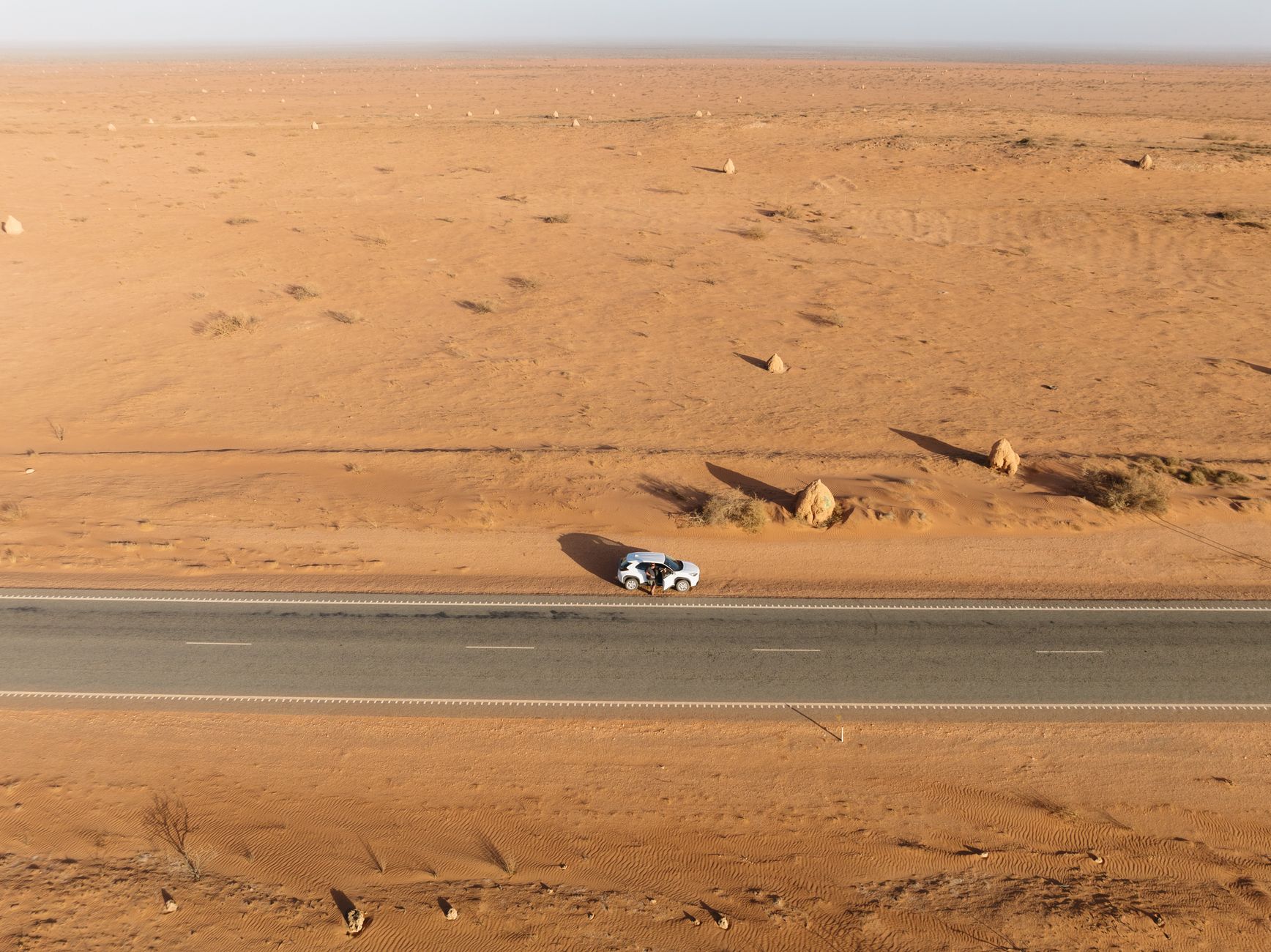
The Stuart Highway runs from Port Augusta to Darwin, and the South Australian half of it is the closest most visitors get to the real Australian interior. Coober Pedy is 846km north of Adelaide and 685km south of Alice Springs, which makes it the natural turning point or the natural halfway stop.
Coober Pedy is the opal capital of the world and about half of it lives underground in dugouts, because summer surface temperatures make above-ground living unpleasant to the point of impractical. There are underground homes, underground churches and an underground hotel. Nearby: the Breakaways, a field of flat-topped ochre and white mesas; the Moon Plain, used as a Mad Max 3 location; and the Dog Fence, which runs 5,600km across the continent. Allow two or three days in and around the town.
Push further and the Oodnadatta Track leads to William Creek, Lake Eyre and the Painted Hills — but that is unsealed, remote and a different class of trip requiring a suitable vehicle, spare fuel and a satellite communicator. Do not attempt it in a hire sedan.
On the sealed highway, break the drive at Port Augusta and again at Glendambo or Woomera. Fuel is available at long intervals and is expensive; that is simply the price of the trip.
Six to eight days: the Eyre Peninsula
The Eyre Peninsula is where South Australians go when they want seafood and nobody else around. The loop runs up the eastern side through Port Augusta, Whyalla, Cowell, Tumby Bay and Port Lincoln, around the foot, then back up the west coast past Coffin Bay, Elliston, Streaky Bay and Ceduna.
Port Lincoln has the largest commercial fishing fleet in the southern hemisphere and is the base for the state’s headline wildlife experiences: shark cage diving and swimming with sea lions, run by operators including Adventure Bay Charters and Calypso Star Charters. Coffin Bay produces the oysters, which you can eat standing in the water where they were grown. Lincoln National Park and Whalers Way have the cliffs — Whalers Way is privately held and needs a permit. Mikkira Station has wild koalas in manna gums.
It is seven hours’ driving from Adelaide to Port Lincoln, or a 50-minute flight with Rex or QantasLink. Flying in and hiring a car locally is a completely legitimate way to do this trip and saves two long driving days.
Four to five days: the Nullarbor to Western Australia
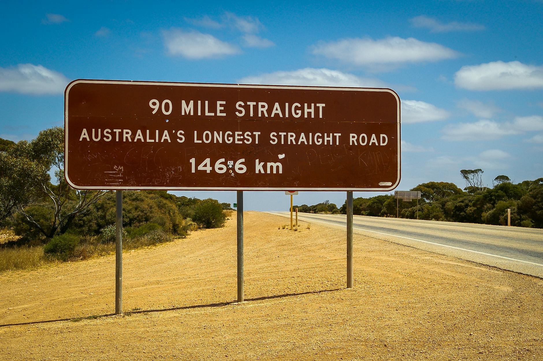
The Eyre Highway crosses from Ceduna to Norseman, and the 90 Mile Straight is the longest straight stretch of sealed road in Australia at 146.6km. This is a crossing rather than a scenic drive, but the Bunda Cliffs — where the Nullarbor Plain simply stops at a 60-90 metre drop into the Great Australian Bight — are extraordinary, and southern right whales gather at the Head of Bight between May and October in numbers you will not see anywhere else.
Quarantine at the WA border is strict: no fresh fruit, vegetables, honey or plant material may cross. Eat it or bin it at Ceduna. Fuel is available roughly every 150-200km at roadhouses and is priced accordingly. Four days is the minimum; five is more humane.
Three to four days: Kangaroo Island with your own car
Kangaroo Island is the only route here that involves a boat. You drive 105km south to Cape Jervis at the tip of the Fleurieu, take the 45-minute vehicle ferry across Backstairs Passage to Penneshaw, and then you have Australia’s third-largest island — 155km end to end — to yourself and a great many kangaroos.
Having your own vehicle changes the trip completely. The island’s distances are long, the public transport is effectively nil, and the best places are at the ends of roads: Flinders Chase and the Remarkable Rocks in the far west, Seal Bay’s sea lion colony on the south coast, Stokes Bay’s hidden beach reached through a gap in the rocks on the north. Two nights is the minimum that justifies the ferry cost; three is better.
Book vehicle space on the ferry well ahead in school holidays and over Easter — foot passengers can usually squeeze on, cars cannot. Much of the south coast road network is unsealed, and hire-car conditions apply as they do everywhere else in the state. Fuel is available at Kingscote, Penneshaw, Parndana and Vivonne Bay, and it costs more than the mainland.
Whose country you are driving through
Every route in this guide crosses Aboriginal country that has been occupied continuously for tens of thousands of years. Adelaide and the plains are Kaurna country. The Flinders Ranges are Adnyamathanha country, and Ikara — Wilpena Pound — is the body of two serpents in a creation story that is still told there. The Coorong is Ngarrindjeri country, the far west is Wirangu and Mirning, and the Nullarbor cliffs carry Mirning whale narratives.
This matters practically as well as respectfully. Some sites are restricted or require a permit — Whalers Way is privately held, parts of the APY Lands need permission arranged in advance, and some rock art sites are not open to visitors. Where interpretation is offered by Aboriginal-owned operators, it is usually the best thing you will do on the trip. Our Aboriginal culture in Adelaide guide is a starting point.
Choosing by how long you have
- One day — Adelaide Hills loop, or McLaren Vale and Willunga.
- Two days — Fleurieu Peninsula with a night in Victor Harbor, or Barossa with a night in Tanunda.
- Three to four days — Barossa and Clare together, the Yorke Peninsula circuit, or the Murray and Riverland.
- Five days — Flinders Ranges, or the Limestone Coast loop.
- A week — Explorers Way to Coober Pedy and back, or the Eyre Peninsula flying one leg.
- Two weeks — Flinders Ranges plus Eyre Peninsula, or a full circuit south-east through the Limestone Coast and on to Melbourne.
Vehicle, season and cost
What to drive
A normal 2WD car covers every route above except the unsealed tracks in the Flinders, the Oodnadatta Track and parts of Innes. A 4WD is needed for those and for nothing else on this list. Campervans and motorhomes work well in South Australia — the caravan parks are good and widely spaced — but they are slow on the Hills escarpment and thirsty on the Stuart Highway. If you want a campervan for one week and a car for the other, that is a reasonable plan.
When to go
Broadly, go north in winter and south in summer. The Flinders, Coober Pedy and the Eyre Peninsula are at their best from April to October and genuinely hostile in January. The Fleurieu, Limestone Coast and Kangaroo Island are best from October to April. The wine regions work year-round, with vintage in February and March and open fires in July. Our best time to visit guide breaks the year down properly.
Rough costs
- Hire car — A$55-90 a day for a small car, more for a 4WD or a campervan, plus a one-way drop-off fee if you are not returning to Adelaide.
- Fuel — city prices are competitive; expect to pay 30-50% more at remote roadhouses.
- Accommodation — country motels and pubs from around A$120 a night, caravan park cabins less, outback station stays and eco-lodges considerably more.
- National park entry — most SA parks are free; a few, including Ikara-Flinders Ranges and Innes, charge a vehicle entry or camping fee. A multi-park pass pays back over a longer trip.
What is not worth doing
- Adelaide to Uluru as a road trip on a short holiday. It is 1,600km each way with very little between Coober Pedy and the Northern Territory border. Fly to Alice Springs or Ayers Rock and hire there.
- The Dukes Highway to Melbourne unless you are in a hurry. Eight hours of straight road with nothing on it, when the coastal route exists.
- A 4WD you will not use. Most visitors hire one “just in case” and drive it exclusively on bitumen, paying a premium and worse fuel economy for the privilege.
- Driving the Eyre Peninsula both ways on a one-week trip. Fourteen hours of the trip is the drive to and from Port Lincoln. Fly one leg.
- Booking every night in advance in the shoulder seasons. Outside January, Easter and long weekends, South Australia’s country accommodation has capacity, and the flexibility to stay an extra night somewhere good is worth more than a small prepayment discount.
Frequently asked questions
What is the best road trip from Adelaide?
For a first visit with a few days, the Fleurieu Peninsula loop gives the most variety per hour of driving — wine, whales, surf beaches and the Murray Mouth in 250km. For a week, the Flinders Ranges is the one people remember, and for pure landscape strangeness it is the Stuart Highway to Coober Pedy.
Do I need a 4WD to road trip South Australia?
No, for almost everything. Every route in this guide except the Flinders gorge tracks, the Oodnadatta Track and some of Innes National Park is sealed and fine in a normal car. Hire a 4WD only if your specific itinerary needs one.
How far is it from Adelaide to the Flinders Ranges?
About 430-450km to Hawker and around 460km to Wilpena Pound, which is five to five and a half hours of driving. Most people break it with a night in Clare, Melrose or Quorn rather than doing it in one push.
Is it safe to drive at night in South Australia?
On country and outback roads, no — and locals genuinely avoid it. Kangaroos, emus and wombats are most active at dawn and dusk, and a strike at highway speed damages the vehicle badly. Plan to be off rural roads between about 4pm and 9am.
How long do you need to drive around South Australia?
A meaningful circuit taking in the wine regions, the Flinders Ranges and one coastal peninsula needs about two weeks. Ten days covers two of the three comfortably. Under a week, pick one region and do it properly rather than covering distance.
Can you drive from Adelaide to Kangaroo Island?
Not directly — you drive to Cape Jervis, about 105km and 90 minutes to two hours south of Adelaide, then take the 45-minute vehicle ferry across Backstairs Passage to Penneshaw. Vehicle spaces book out in school holidays. See our Kangaroo Island guide.
What is the longest straight road in Australia?
The 90 Mile Straight on the Eyre Highway across the Nullarbor, at 146.6km without a bend. It begins near Caiguna in Western Australia, reached from South Australia via Ceduna and the border at Border Village.
Are there tolls on South Australian roads?
No. South Australia has no toll roads at all, which makes budgeting a road trip here refreshingly simple — fuel, accommodation, food and the occasional park entry fee, and that is the list.
Related Adelaide Guides
- Driving in South Australia — road rules, fuel, wildlife and unsealed-road advice.
- Car Rental in Adelaide — operators, insurance and one-way hires.
- Adelaide Day Trips — everything within two hours of the city.
- Adelaide to Flinders Ranges Road Trip — the full northern itinerary.
- Adelaide’s Wine Regions — Barossa, Clare, McLaren Vale and the Hills compared.
- Kangaroo Island from Adelaide — ferries, flights and what fits in a day.
- Arriving in Adelaide — where to collect a car depending on how you arrive.
- Adelaide Travel Guide — the city end of the trip.
Photo Credits
The Blue Lake at Mount Gambier: “Blue Lake – Mount Gambier – Australia.jpg” by Didier B (Sam67fr), via Wikimedia Commons, CC BY-SA 2.5.
The Breakaways near Coober Pedy: “The Breakaways.jpg” by Jburger234, via Wikimedia Commons, CC BY-SA 4.0.